Book A Contour Survey on the Sunshine Coast
Cutting-Edge Technology for Precise Results
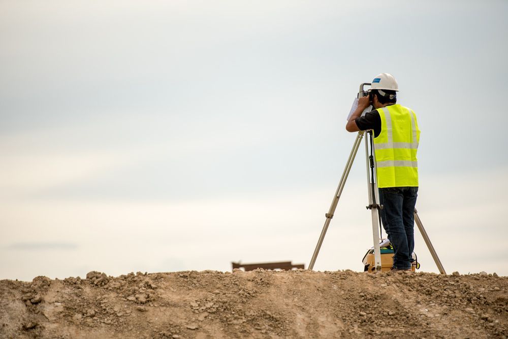
At Coastal Surveying Group, we offer DTM (Digital Terrain Model) and contour surveys to collect data regarding the shape and characteristics of land or terrain.
Utilising advanced surveying equipment, we can determine the location of existing features (both above and below ground), an important aspect for residential, commercial and civil construction projects and designs.
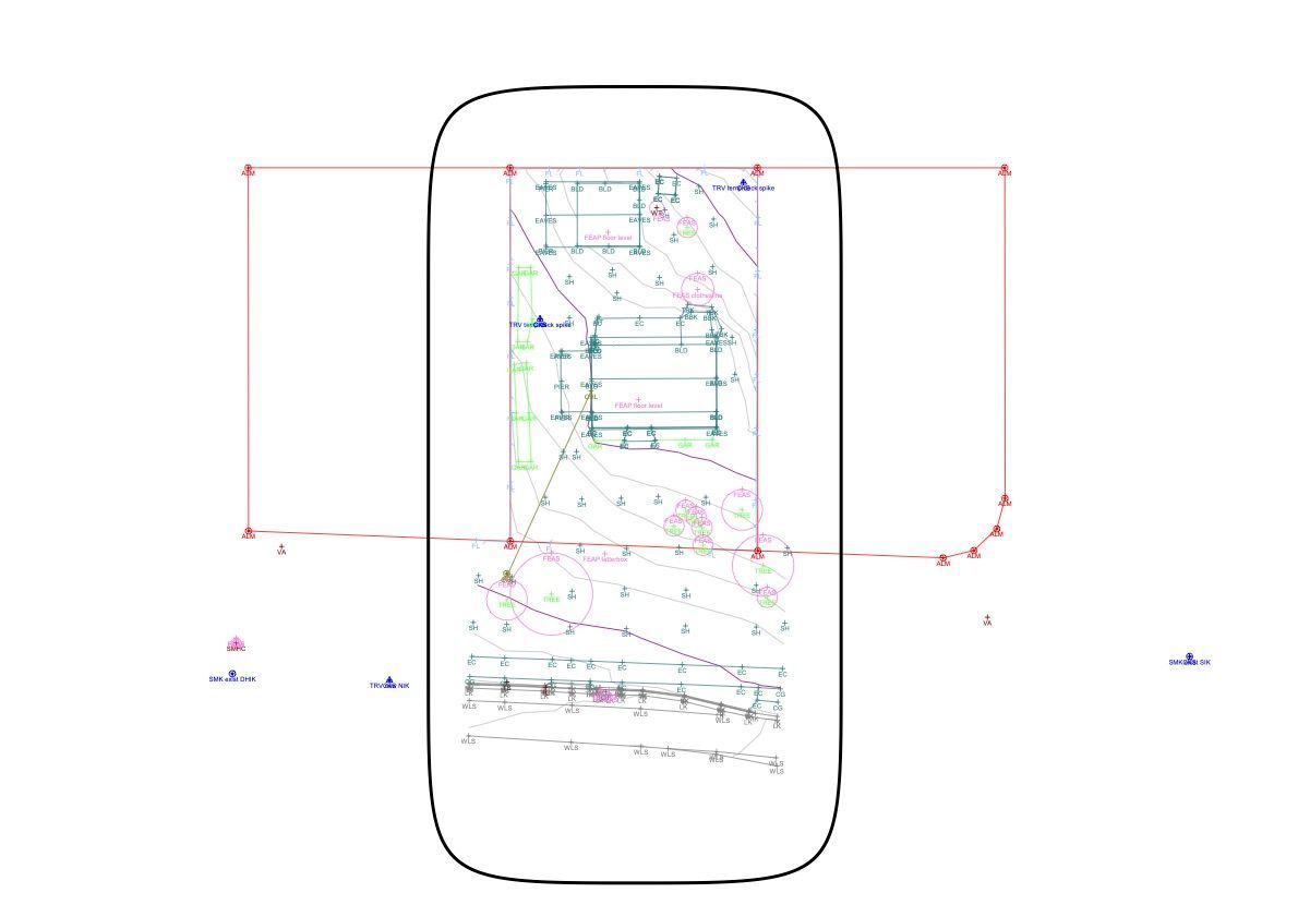
Contour surveys—also known as topographic surveys—map the elevation or height of surfaces. By measuring specific points on the ground, we can generate precise contour lines that accurately represent the varying elevations of these surfaces.
Contact Coastal Surveying Group to arrange a surveying service today on 0434 531 381. We serve clients throughout the Sunshine Coast region.
What Are The Benefits?
- Accurate representation: DTM / contour surveys provide highly accurate and detailed 3D representations of the terrain or structure, enabling precise planning and execution of construction projects.
- Efficient planning: DTM surveys help in optimising site grading, stormwater management and infrastructure placement, resulting in efficient planning and cost savings.
- Improved visualisation: By generating 3D models and contour maps, DTM surveys enhance the visualisation of the project site, allowing stakeholders to better understand the topography, slopes and elevation changes.
- Enhanced engineering design: DTM / contour surveys aid in designing structures that harmonise with the natural landscape, minimising environmental impact and reducing earthwork.
- Cost & time savings: Accurate DTM surveys help streamline construction processes by enabling precise quantity take offs, material estimation and earthwork calculations, resulting in cost savings and reduced project timelines.